

Story by Hailey Wist
The Blue Ridge Mountains, part of the greater Appalachian chain, began forming more than a billion years ago, the product of colliding continents and unimaginable force. At the time of their emergence, these mountains were among the highest in the world, peaks of incomprehensible scale. Over hundreds of millions of years, continents drifted, collided again, and broke apart. Around 300 million years ago, Africa collided with North America in a second great upheaval. The force of that collision thrust those ancient billion-year-old basement rocks upward, reshaping the range into the landscape we recognize today. The Blue Ridge is among the oldest mountain terrain on earth, second in age only to the Makhonjwa Mountains in South Africa. These are mountains that make the Rockies and Himalayas look like young upstarts.
Wind, water, and time have been at work ever since. Not the glacial scour that scraped the northern half of the continent, but the steady erosion of weather and water over geological eons. The result is what stands today: ancient, rounded ridges, their hard metamorphic cores exposed, their flanks draped in some of the deepest forest in eastern North America. The valleys between them, carved by rivers following the path of least resistance through softer rock, have become the corridors through which water, seeds, animals, and people move.
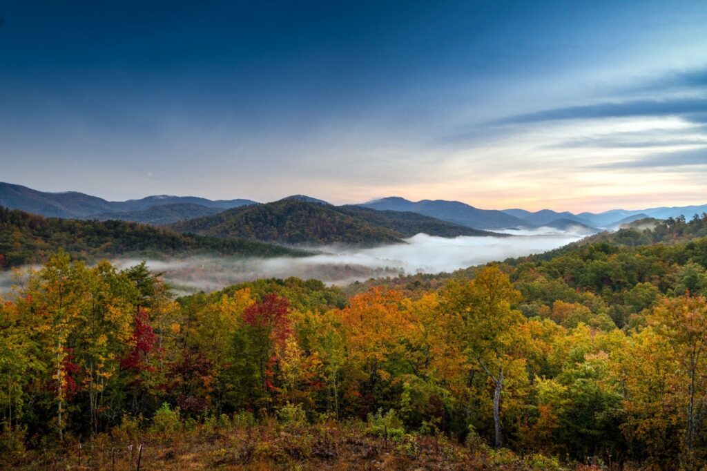
The Cherokee call these mountains Shaconage, Land of the Blue Mist, named for the atmospheric haze that rises from the forested slopes. Their forebears had lived in the Southern Appalachians for more than 11,000 years, arriving after the last Ice Age. These mountains supplied everything a people required: clean water from abundant streams, fertile land along the valley floors, game moving through the forests, and a climate moderated by elevation, cool in summer, sheltered in winter.
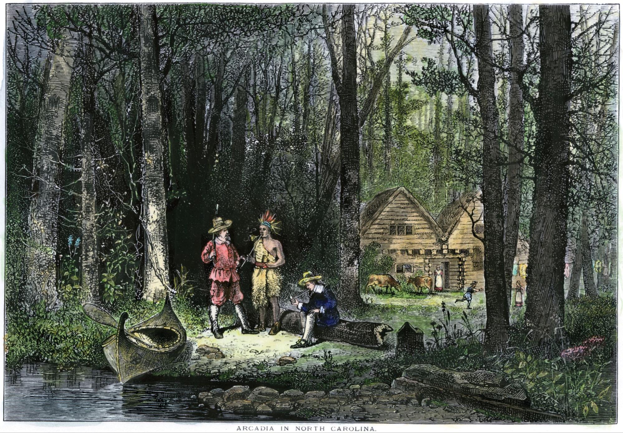
The Cherokee were a settled people who lived in permanent villages throughout the Blue Ridge, sustaining themselves through sophisticated agriculture. They planted their fields in the wide river valleys, built their towns along the waterways, and developed a relationship with this landscape that was, at its core, a response to its specific contours—ridges and gaps, its rivers, its seasons. The land didn’t just support this culture, it shaped it.
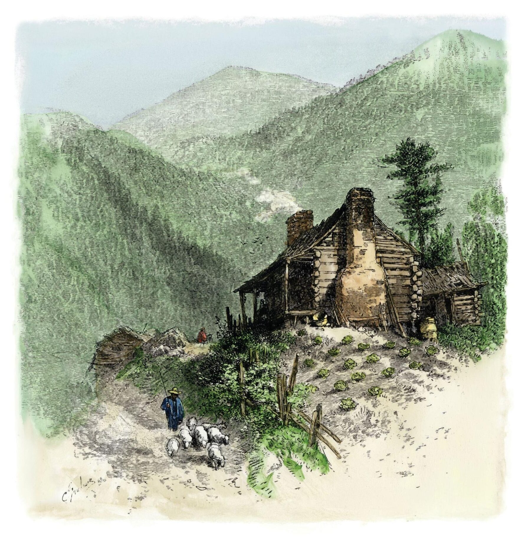
European settlers arrived in the eighteenth century, and Scots-Irish migrants filtered down through the mountain gaps. They were soon followed by others, traveling the same corridors the Cherokee had always used. The river valleys guided settlement. Towns grew where valleys widened and water ran reliably. The cultural character of the region—fierce self-reliance, deep attachment to place, and a particular blend of isolation and community—was as much a product of the terrain as of the people who inhabited it. Mountains make their people.
What those mountains also made, over a billion years of tectonic drama and slow erosion, is one of the most biologically extraordinary places on earth.
The numbers are difficult to absorb. More species of plants can be found in the mountains of North Carolina than in any other area of similar size in North America. Regional botanical surveys have cataloged thousands of plant species here, alongside roughly 2,000 kinds of fungi and some 500 mosses and lichens. More than 250 plant species found in the North Carolina mountains grow nowhere else in the world. The Southern Blue Ridge contains more than 400 endemic species, the most found in any region in North America.
The reasons for this are geological as much as ecological. Because the Blue Ridge escaped the glaciers that swept across the northern half of the continent, it served as a refuge for species as ice advanced. Northern species moved south and found shelter in the Southern Appalachians. When the ice retreated, many stayed, leading to the diverse mix today. The extreme variation in elevation, from valley floors to summits above six thousand feet, replicates the effect of traveling thousands of miles north or south, creating a stack of microclimates within a single landscape. A hike from river bottom to ridgeline passes through ecosystems that elsewhere would be separated by entire states.
The region’s streams and rivers contain the largest variety of fish, freshwater mussels, and crayfish in the temperate world, with more than 230 fish species documented and new species still being discovered. The North Carolina mountains are home to more species of salamanders than any other place in the world. More than fifty plant genera, including magnolias, hickory, sassafras, ginseng, and mayapple, show distribution patterns linking the Appalachians to eastern China, reflecting formerly widespread ranges disrupted by ancient climatic shifts. To walk these forests is to walk through deep time.
That this landscape survives in the condition it does is neither accident nor inevitability. It reflects decades of conservation by public agencies, private landowners, and nonprofit organizations working to protect one of North America’s most remarkable ecosystems.
All of this is context for what it means to live at The Cliffs. To build a community in these mountains is to build it within one of the most consequential natural landscapes in the world. The ridgelines visible from the back porch are billion-year-old stone. The creek running through a valley is part of a freshwater system unlike any other in the temperate world. The forest understory in spring represents a continuity of life that has persisted here, through ice ages and continental collisions and the entire span of human civilization, without interruption.
The Cherokee understood that. The settlers who followed them, at their best, understood it too. The obligation that understanding creates does not diminish with time. Knowing what this land is only deepens the instinct to protect it.
This story was featured in Cliffs Living magazine. To see more stories like this one and learn more about The Cliffs, subscribe here.